Seven creeks flow across Boulder County, shaping the landscape and sustaining life along the way. Rock Creek, the only stream to originate on the plains, marks the southern boundary of the county, while Little Thompson Creek marks the northern county line at the Ron Stewart Preserve at Rabbit Mountain. In between, Coal Creek, South Boulder Creek, Boulder Creek, Lefthand Creek, and the St. Vrain Creek all flow from the mountains, with the latter four originating at the Continental Divide. Eventually, these waterways feed into the Boulder Creek and St. Vrain Creek watersheds, which in turn flow into the South Platte River.
In Colorado’s arid climate, streams are true lifelines — narrow ribbons of habitat that support both biodiversity and human needs. Although riparian areas cover only about 1% of the eastern plains, they provide habitat for 80-90% of native wildlife at some point in their lives. These areas also support unique plant communities found nowhere else and host the highest remaining biodiversity of small, native fish on the Front Range.
A Legacy of Conservation and a Future of Restoration
For more than 50 years, Boulder County Parks & Open Space (BCPOS) has recognized the vital importance of these riparian corridors. The department has prioritized acquiring land along streams, implementing protective management practices, and restoring degraded waterways impacted by past human activities.
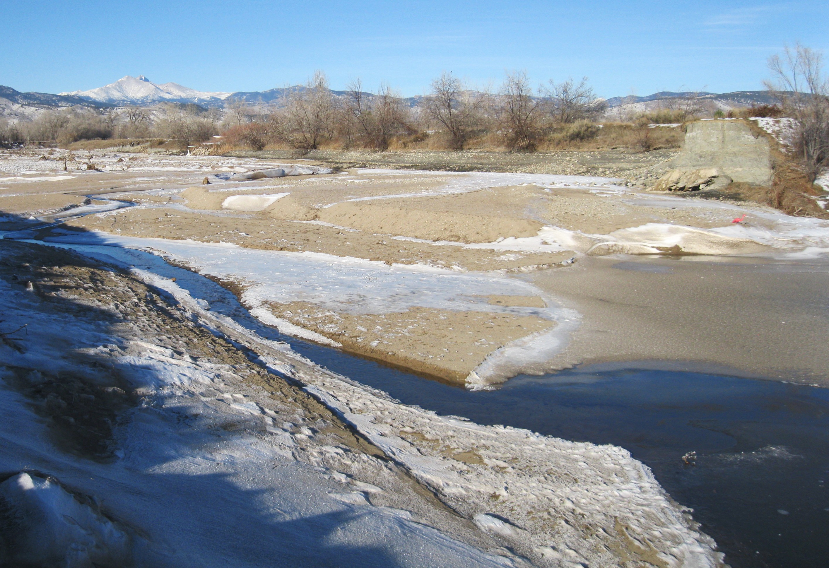
Historic land uses — including beaver extermination, agriculture, and gravel mining — altered the natural flow of streams. Once-meandering creeks were straightened, increasing flow velocity and erosion, disconnecting streams from their floodplains. The absence of beavers eliminated naturally complex systems of ponds, marshes, and overflow channels. Irrigation diversions reduced streamflow, while dams and reservoirs altered seasonal fluctuations. Livestock grazing often degraded streambanks and removed riparian vegetation, which shades and cools streams and supports aquatic food webs. These cumulative impacts led to the decline of many native species, such as the common shiner and the federally threatened Preble’s meadow jumping mouse.
Now, climate change adds new pressures: warmer temperatures and drier conditions that further reduce stream flows and raise water temperatures.
Innovative Solutions for a Changing Landscape
In response, BCPOS has significantly expanded its restoration efforts. Much of the St. Vrain Creek corridor between Lyons and Longmont has been protected, with the City of Longmont stewarding lands farther east toward Weld County. Boulder County and the City of Boulder have also conserved large portions of the Boulder Creek watershed.
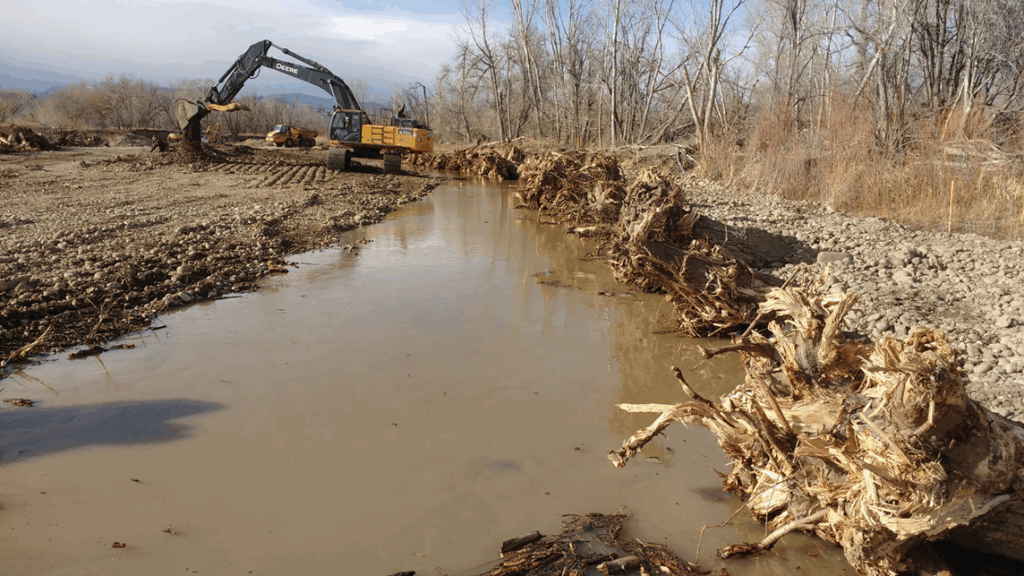
Restoration has accelerated through partnerships with organizations such as Mile High Flood District, the Army Corps of Engineers, Colorado Parks & Wildlife, U.S. Fish & Wildlife Service, Natural Resources Conservation Service, and local nonprofits like The Watershed Center, The Boulder Watershed Collective, Ocean First Institute, and Trout Unlimited. The 2013 flood, which caused widespread damage but brought new funding and urgency, became a turning point for larger, collaborative projects — especially on St. Vrain Creek, which experienced a 500-year flood event.
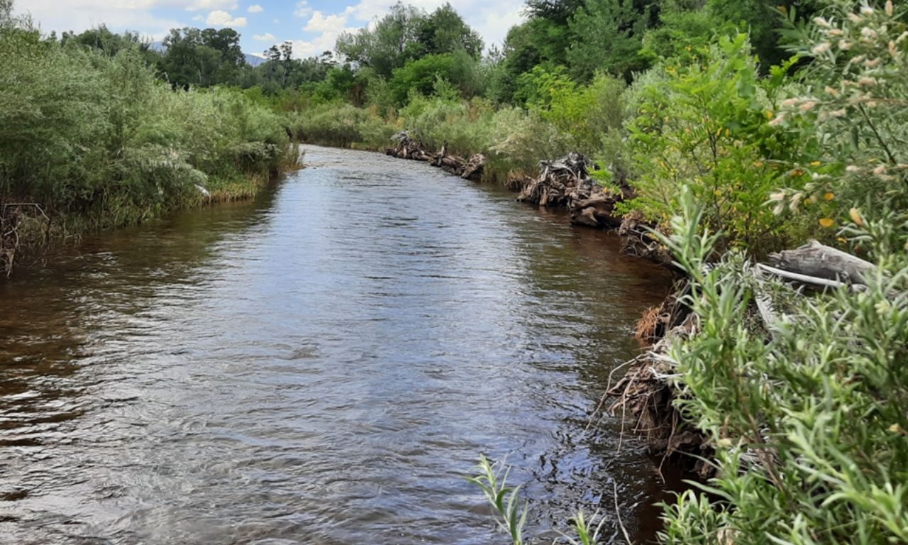
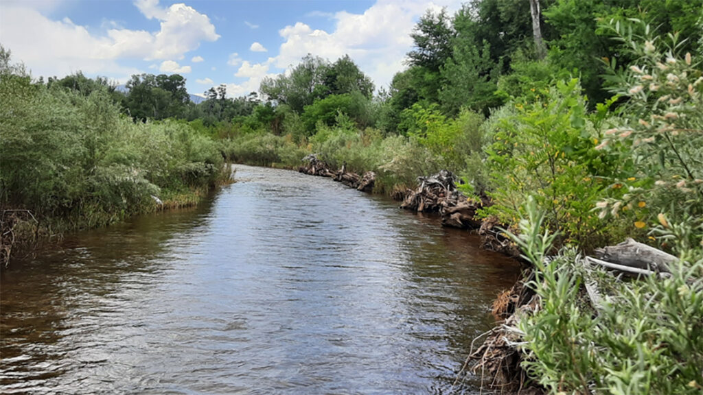
For the first time in BCPOS’ history, multi-objective restoration designs were implemented to balance irrigation needs with ecological goals. Innovative engineering approaches, like replacing dams with natural rock ramps, helped facilitate fish passage and improve habitat complexity. Overflow channels and reconnection to historic floodplains restored natural functions while supporting downstream resilience.
BCPOS has also embraced cutting-edge ecological research to guide restoration. Pollinator experts highlighted the importance of vertical streambanks for native ground-nesting bees. Bioengineering specialists helped design structures using natural materials — such as root wads from whole trees — that protect infrastructure while enhancing aquatic habitat.
Thousands of native trees, shrubs, and willows have been planted to improve conditions for wildlife, including the Preble’s meadow jumping mouse, which has rebounded in restored areas. Meanwhile, beaver populations are naturally expanding, and BCPOS continues to develop coexistence strategies to let these ecosystem engineers do what they do best — enhance habitat, slow water, and create wetlands.
Looking Ahead
Restoration is ongoing. From reintroducing habitat complexity to building fish-friendly passageways, BCPOS is committed to reconnecting streams to their natural floodplains and bringing life back to these vital waterways. With continued collaboration, science-based design, and a deep-rooted conservation ethic, Boulder County is working to ensure that our creeks remain lifelines for both people and wildlife — today and for generations to come.
Post-2013 Flood Restoration by the Numbers
- Linear feet of stream restored on BCPOS land: 27,253 (5.2 miles)
- Number of native willows and shrubs planted: 73,206
- Wetland plants planted: 35,670
- Riparian and upland acres reseeded: 141
- Fish Passage Structures Constructed: 2