The Boulder County Parks and Open Space Department offers grants for research on county open space lands each year. All proposals are reviewed by a team of resource specialists, and awarded research projects are monitored during their activities on open space. The following is a summary of a 2014 study conducted by Edward Gage and David Cooper from the Department of Forest and Rangeland Stewardship at Colorado State University. Their project focused on pre- and post-flood assessment and monitoring of Boulder County riparian areas.
Abstract
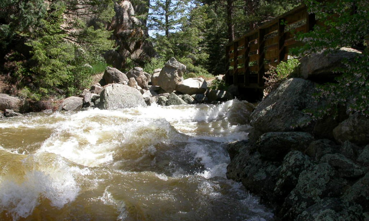
The September 2013 floods in Boulder County caused extensive damage to property and infrastructure, but the effects on riparian ecosystems remain poorly understood. To improve basic understanding of the effects on riparian ecosystems, an approach combining remote-sensing and GIS analyses along with field sampling to map riparian forests, quantify changes within the riparian corridor, and document conditions in Boulder County Parks and Open Space (BCPOS) riparian areas was developed. This report summarizes these analyses for riparian areas occurring along major streams on BCPOS property.
Lidar and multispectral imagery were used to develop pre-flood and post-flood maps of riparian areas along selected study area streams. Height information from lidar data sets were used to characterize structure and maps were compared to evaluate changes to riparian zone and channel topography and surface morphology. Lidar analyses identified a variety of impacts to riparian corridors including changes in channel plan form and cross-sectional geometry.
Image and lidar canopy models revealed changes in riparian tree canopy cover. To complement these analyses and provide site-specific measures of riparian condition, a spatially-balanced statistical sampling design was used to identify points for field sampling.
Points were drawn from areas of BCPOS properties with riparian frontage along Boulder and Lefthand Creeks, the St. Vrain River and their major tributaries. Field metrics of geomorphic characteristics, vegetation and soil cover, canopy structure, exotic plants, and channel condition were evaluated at sampled stream reaches and data were combined with extensive photo points to provide a baseline for assessing riparian corridor recovery.
There were significant differences between the nature of impacts between stream reaches located in dissimilar geomorphic process domains such as bedrock-confined foothills streams and unconfined alluvial rivers on the plains. The extent and magnitude of changes were spatially variable within and between study area streams and individual BCPOS properties. Field data also revealed variable impacts at the site level. Localized changes included channel and bank erosion, and extensive areas of sediment and debris deposits. Depositional deposits of coarse alluvium, ranging in size from sand and gravel to cobbles and boulders, characterized many stream reaches, especially along the St. Vrain River.
Data from field sampling also revealed significant flood effects on the geomorphic characteristics of stream channels and banks. Of particular importance to riparian communities are impacts to streambank stability, cross-sectional elevation profile, and the creation of extensive areas of sparsely-vegetated substrates. A variety of exotic species were common in field plots, but field data also documented extensive cottonwood (Populus spp.) and willow (Salix spp.) seedling emergence. Seedling density in excess of 60 seedling/m2 were observed along all major rivers on the plains and on a variety of geomorphic surfaces from depositional bars to high riparian terraces. The high abundance of seedlings suggests that the establishment of a new cohort of riparian trees will be among the more important ecological effects from the 2013 flood on BCPOS properties.