You never know what you might find when you dig a hole, but soil scientists have a pretty good idea.
Soil is crucial to everything that grows. If you’ve done any gardening or farming, you know that there are many types of soil, made up of many different ingredients. “Good soil” may be defined by what can grow there or what role it plays in a particular ecosystem.
The Natural Resource Conservation Service (NRCS), a branch of the U.S. Department of Agriculture, creates soil maps and soil surveys to help industries and individuals understand and interpret soils to determine site management plans, erosion control, garden design, ecosystem restoration, water conservation plans, waterway restoration, flood risk management, recreation use planning, and more.
Kari Sever, a soil scientist with NRCS, is currently updating survey maps as part of the National Cooperative Soil Survey. I decided to tag along with her to learn more about what she might discover. She explained that some of the original surveys were created in the 1970s or earlier. The maps need updating because current details and information are often lacking, or were generalized for a specific area rather than looking at smaller plots within a larger region. Sever said that some of the old survey maps lump soils into nondescript categories like “colluvial land” and “terrace” that don’t share a lot of details about soil type or features and, therefore, cannot be accurately interpreted. Sever is currently conducting detailed soil survey updates at the open spaces of Heil Valley Ranch, Hall Ranch, and Ron Stewart Preserve at Rabbit Mountain. She is also updating maps for properties in Jefferson County, Larimer County, and the City of Boulder.
Digging Deep: How to Survey
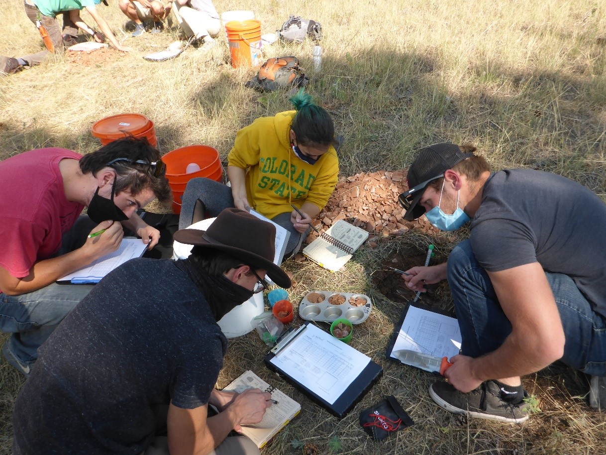
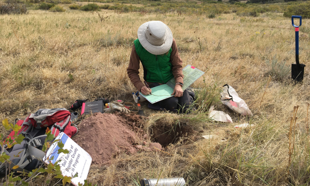
When you survey for plants or wildlife, you look around to see where they grow or live. To survey soil, you have to dig deep. Sever starts by digging a hole that can go as deep as five feet with her three-inch auger, unless she hits bedrock. Once the hole is open, she looks for color, texture, structure, and depth to determine properties of the soil that give clues to taxonomic classification. She records the GPS location, local plants, and tests for pH and salts. She even gets the soil wet and squishes it around in her fingers. It’s a dirty job, but someone has to do it.
On one section of Hall Ranch, she hit rock at 16 inches. It had rained the day before, and the first few inches of soil looked dark and still retained a bit of moisture. Below that, the soil was light colored and powdery. A color chart helps her classify the soil. “It’s like using paint samples from Sherwin Williams,” she explains. She determined that the soil here is sandy loam with a calcic horizon.
Once all the data is collected, Sever makes sure she has recorded all her data, takes photographs for reference, and then backfills the hole with its original contents. “Everything goes back into the hole,” Sever emphasizes, and nothing is removed from the site. Within moments the spot looks the way we found it, and we walk on to the next survey location.
Soil information is updated yearly on the Web Soil Survey. New data that Sever and other scientists compile is posted to the national database, where it is merged with digital maps and is available free to the public at websoilsurvey.sc.egov.usda.gov. “In addition to updating soil map unit concepts,” Sever says, “the survey will capture changes in land use and land cover and provide more accurate interpretations for the public.” Amazing what a little digging will uncover.